Boat Slips
Along the Nova Scotia coast, small harbours and slips are often the gateways to the sea. This page documents a growing list of boat slips around the province, including GPS coordinates and current photographs taken on the date indicated. The goal is simple: provide boaters and divers with practical, up-to-date reference points when planning their next trip offshore.
Conditions at small harbours can change due to weather, maintenance, or seasonal factors. Always verify conditions before launching.

Louisbourg
Louisbourg Harbour anchors the coastal town of Louisbourg on Cape Breton Island’s rugged Atlantic shore, where fishing wharves bustle alongside the shadow of the famous Fortress. The main government wharf and Small Craft Harbour draw a steady mix of working lobster boats, visiting cruise ships, and Coast Guard vessels, all framed by a sweeping boardwalk perfect for photos
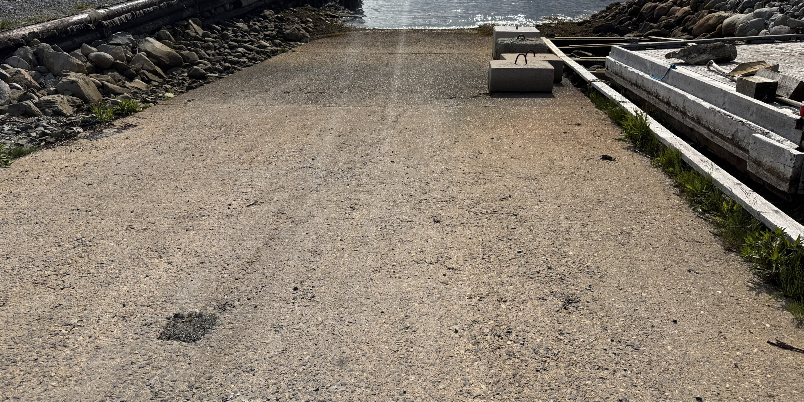
Located in the heart of Louisbourg, one of two public slips. This slip is located at 45°55.127’N, 59°58.231’W. The slip is 32 feet wide, concrete and in good condition. There is parking in a lot next to this slip.
Photo taken: 5 June 2025

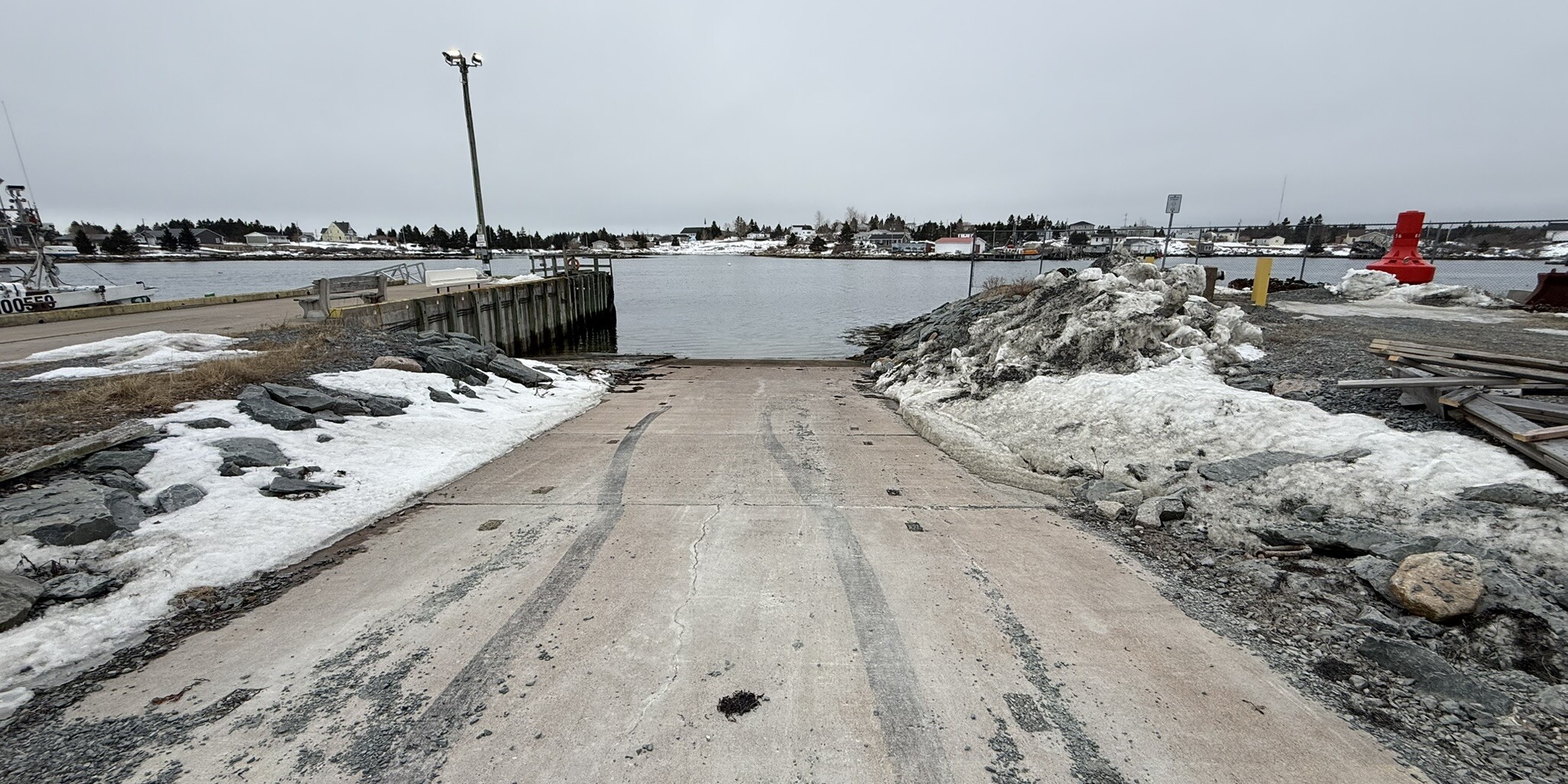
Main A Dieu
Main-à-Dieu, on Cape Breton Island’s easternmost tip, centers around its bustling fishing wharf—a homeport for a large lobster fleet amid a rugged coastline battered by Atlantic swells. The harbour hums with seasonal rituals like the priest-led Blessing of the Fleet before lobster season starts, drawing the whole village to pray for safe seas, alongside traditions like boat-launching days where vessels roll from sheds to water.
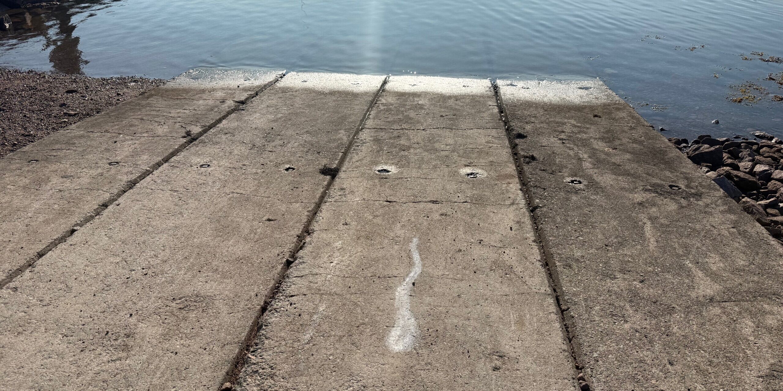
Located in the fishing village of Main A Dieu. This slip is located at 46°00.431’N, 59°50.289’W. The slip is 20 feet wide, concrete and in good condition. There is no place to tie a vessel at the slip, but the nearby wharf offers both boat and vehicle parking. There is very limited parking along the road, and caution not to park on personal property across from the slip.
Photo taken: 5 June 2025
Brooklyn
Brooklyn, Nova Scotia, nestles along the Mersey River near Liverpool on the South Shore, where the Liverpool Government Wharf—also known as Brooklyn Marina—serves as a tidy hub for local boats and seasonal fishing. Tucked off Brooklyn Shore Road, it offers a boat ramp, guest slips with power and water, and a clubhouse overlooking calm waters sheltered by the river’s broad estuary.
This slip is part of the Brooklyn Marina and is located at 44°03.043’N, 64°41.358’W. The slip is 20 feet wide, concrete and in good condition. There is limited parking.
Photo taken: 15 June 2025
Dingwall
Dingwall Harbour sits on Cape Breton’s northeast shore in the community of Dingwall, a classic small craft harbour alive with lobster boats during the busy season. Protected by breakwaters that have seen repairs against erosion and storms, it offers a secure inner anchorage in mud, with piers where fishermen work amid stacks of traps and gear.
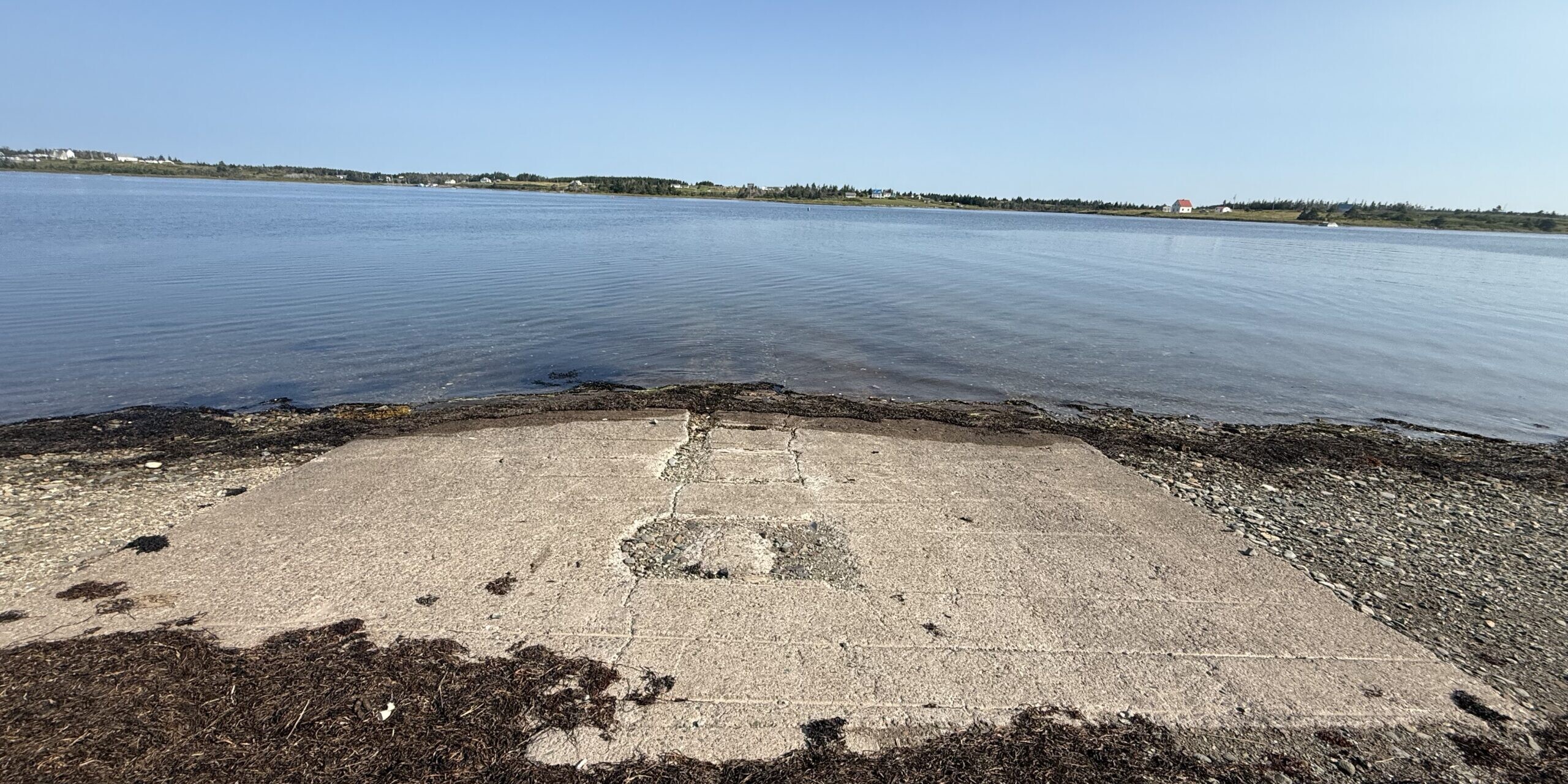
Located in the fishing village of Dingwall. This slip is located at 46°54.173’N, 60°27.616’W. The slip is 20 feet wide and concrete and in good condition.
Around the wharf offers both boat and vehicle parking.
Photo taken: 20 August 2025
Forchu
Fourchu (pronounced FOR-shoo) clings to the southeast coast of Cape Breton Island in Richmond County, a tight-knit Acadian fishing village where the sea dictates life amid rugged cliffs and inlets. Its small harbour and wharf shelter a hardworking lobster fleet, with Fourchu lobsters prized for their quality, stacked traps lining the piers during the season’s frenzy.
This slip is located at 45°42.953’N, 60°41.977’W. The slip is 20 feet wide, concrete and in average condition. There is limited parking along the road. There is no place at the slip to tie up a boat.
Photo taken: 8 August 2025
Little Lorraine
Little Lorraine nestles on Cape Breton Island’s east coast near Louisbourg in Richmond County, a tiny Acadian fishing village of about 60 souls known for rough seas, heavy fog, and its historic harbour marked by Gull Rock. The small craft wharf shelters local lobster boats and inshore gear amid a backdrop of walking trails like Gooseberry Cove, with a seasonal lighthouse guiding fishermen past Black Head since 1900.
It is known to have had several different names in the past such as Little Loran, Lorembec, Cap-de-Lorembec, Petit Laurenbec and between 1750-51 Petit Lorembec was in use.
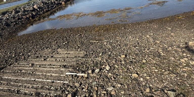
This slip is located at 45°57.259’N, 59°51.785’W. The slip is 20 feet wide, a mix of wood and concrete, and not in good condition.
There is limited parking, and the slip is no good at low tide.
Photo taken: 5 June 2025
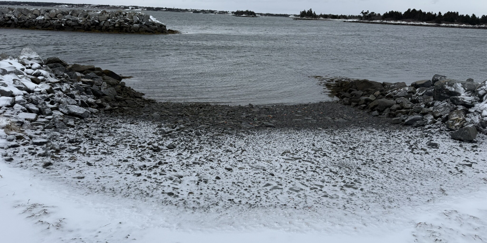
Newellton
Newellton nestles on Cape Sable Island in Barrington County along Nova Scotia’s South Shore, a quiet fishing community tied to the sea by its modest government wharf and inshore fleet. The harbour shelters lobster boats and gear amid a rugged coastline of barrens and low dunes, with working piers where tides and weather set the daily pace.
This slip is located at 43°28.307’N, 65°37.931’W. The slip is 15 feet wide, gravel and in average condition. There is limited parking onsite.
Photo taken: 3 January 2026

Port Mouton
Port Mouton hugs Nova Scotia’s South Shore in Queens County, a classic fishing village 10 miles southwest of Liverpool where lobster boats tie up at the local wharf amid Port Mouton Bay’s islands and beaches. Named for a sheep that leapt overboard during early French explorers’ landing in 1604 (locals say “Port Mah-TOON”), it’s a working harbour with fish plants and gear stacks, blending grit with nearby trails into Kejimkujik Seaside park.
This slip is located at 43°55.135’N, 64°50.616’W. The slip is 20 feet wide, concrete, and in good condition.
Parking around wharf and road leading to it.
Photo taken: 15 June 2025
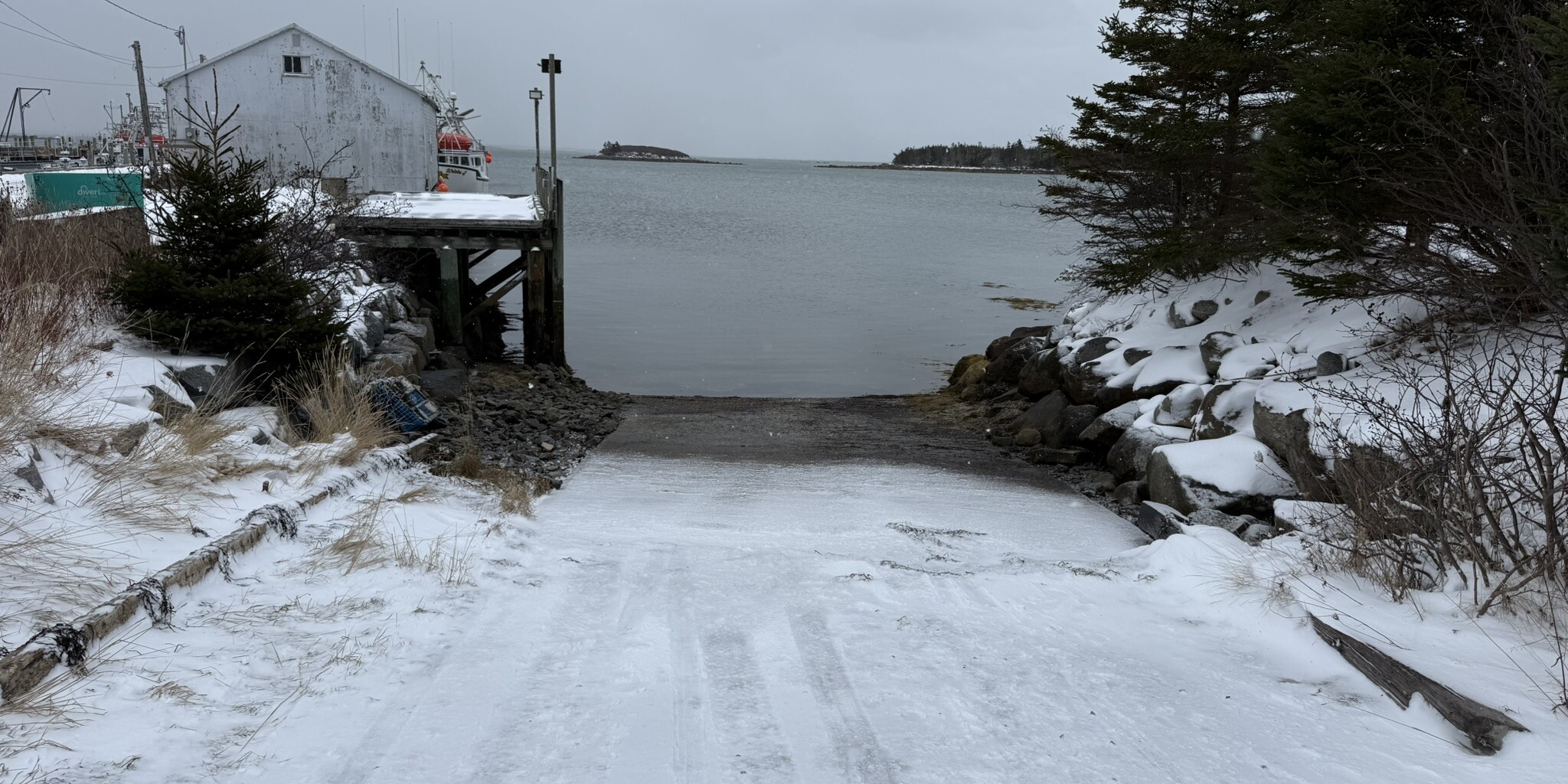
Shag Harbour
Shag Harbour perches on Nova Scotia’s South Shore in Shelburne County, a small fishing village of about 400 where lobster boats crowd the wharf from November to May. The harbour’s working piers hum with gear and daily tides, framed by a rugged coast that’s drawn headlines since the infamous 1967 UFO crash into its waters.
This slip is located at 43°29.591’N, 65°42.435’W. The slip is 15 feet wide, gravel and in average condition. There is lots of parking onsite.
Photo taken: 3 January 2026
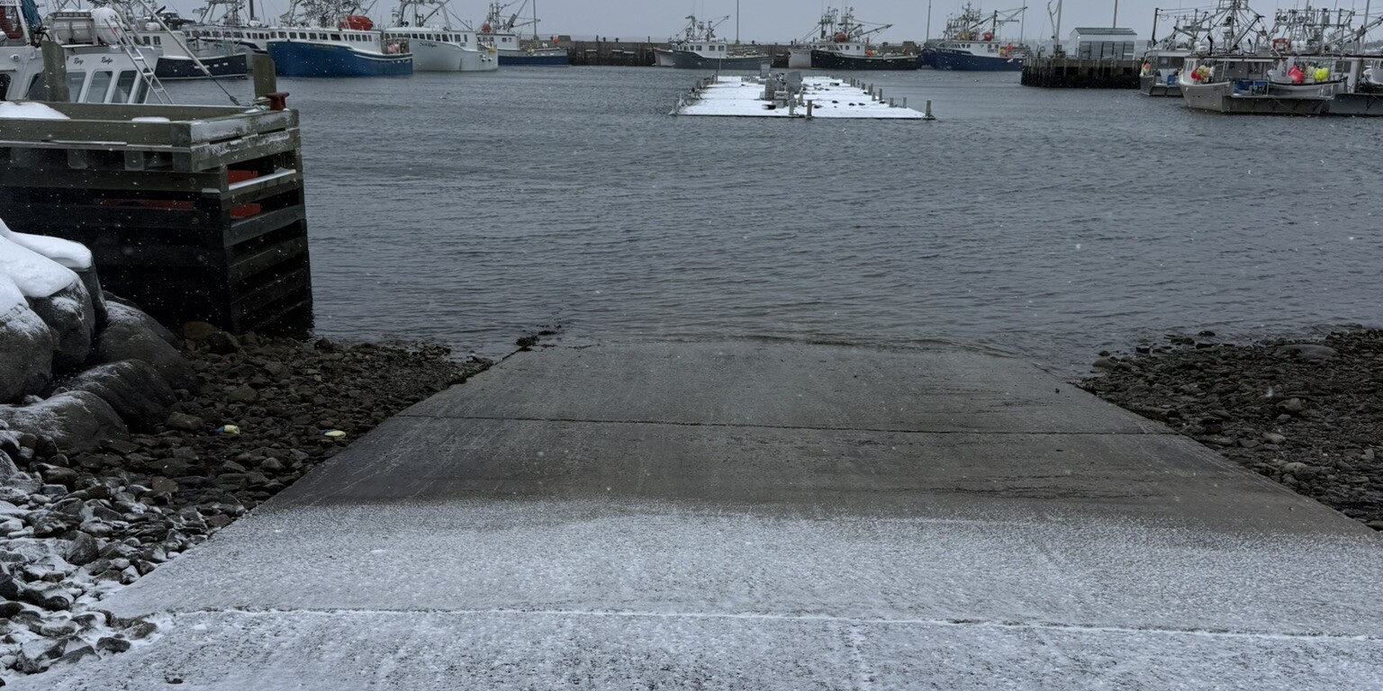
West Head
West Head marks the rugged western tip of Cape Sable Island in Shelburne County, Nova Scotia, a remote fishing outpost where the Atlantic meets barrens and dunes at its historic lighthouse and small wharf. The harbour shelters inshore lobster boats amid pounding surf, with the current fiberglass tower—replacing a wooden one from 1888—guiding vessels past the headland into Barrington Passage.
This slip is located at 43°27.488’N, 65°39.215’W. The slip is 20 feet wide, concrete, and in good condition.
There is some parking around this site.
Photo taken: 3 January 2026
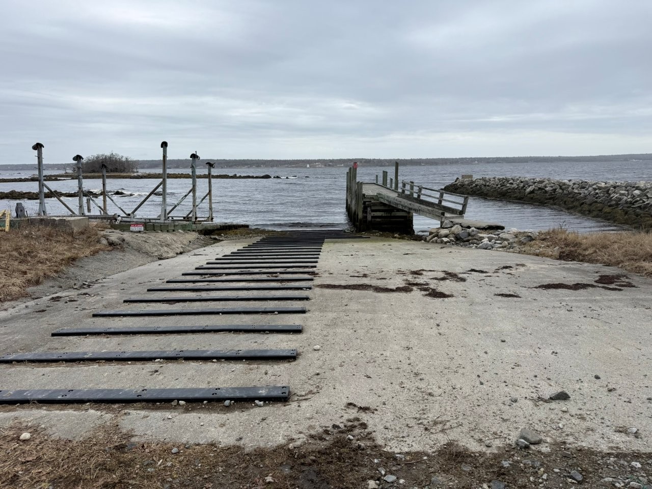
Jones Harbour
Jones Harbour is a small, working wharf tucked into a sheltered cove on Nova Scotia’s South Shore, the kind of place where the road simply ends at the water and the day’s pace is set by the tides and the boats. Protected by nearby islands and rocky shoreline, it offers a quiet glimpse of traditional inshore fishing life: stacks of gear on the wharf, a handful of vessels at their moorings, and a broad view of sea and sky that changes with every shift in the weather
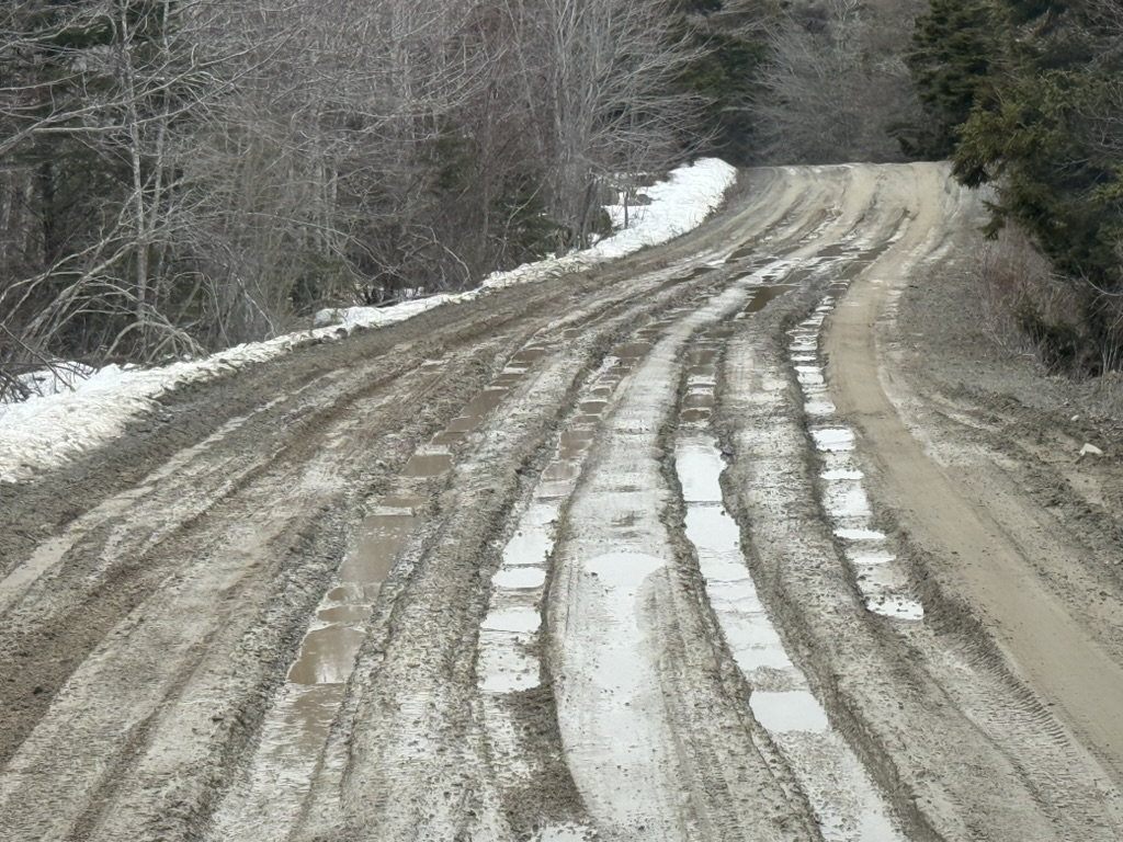
The narrow road into Jones Harbour tells its own story: patched and rough in places, it clearly hasn’t seen much maintenance and could use some real attention. The drive in is slow, but it adds to the feeling that you’re headed somewhere a little forgotten, where the wharf and the sea still matter more than the pavement.
This slip is located at 43°45.019’N, 64°58.484’W. The slip is 30 feet wide, two sections, gravel and in average condition. Not very useful at low tide.
There is lots of parking onsite.
Photo taken: 16 March 2026

Gunning Cove
Gunning Cove is a small coastal community in Shelburne County, Nova Scotia, tucked along the shoreline south of the town of Shelburne. Centered around its government wharf and slipway, it looks out over a rocky, working shoreline where fishing boats, gear piles, and changing tides define much of the daily rhythm.
The access road drops down toward the water, ending at a practical little harbour where you can park, walk the wharf, and watch the sweep of the cove and the open water beyond. It feels unhurried and local—more a lived‑in working shore than a tourist stop—which makes it a good place to capture the character of a South Shore fishing community in your wharf photos.
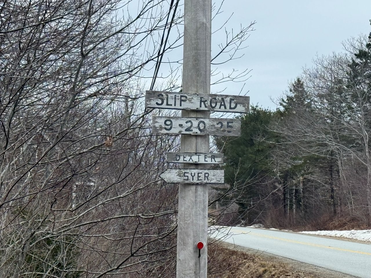
The boat launch lies just a short distance further, down a side street marked only by an old wooden sign reading “Slip Road” nailed to a weathered telephone pole
This slip is located at 43°41.094’N, 65°20.567’W. The slip is 20 feet wide, concrete, and in good condition.
There is limited parking around this site. More at the nearby wharf.
Photo taken: 16 March 2026


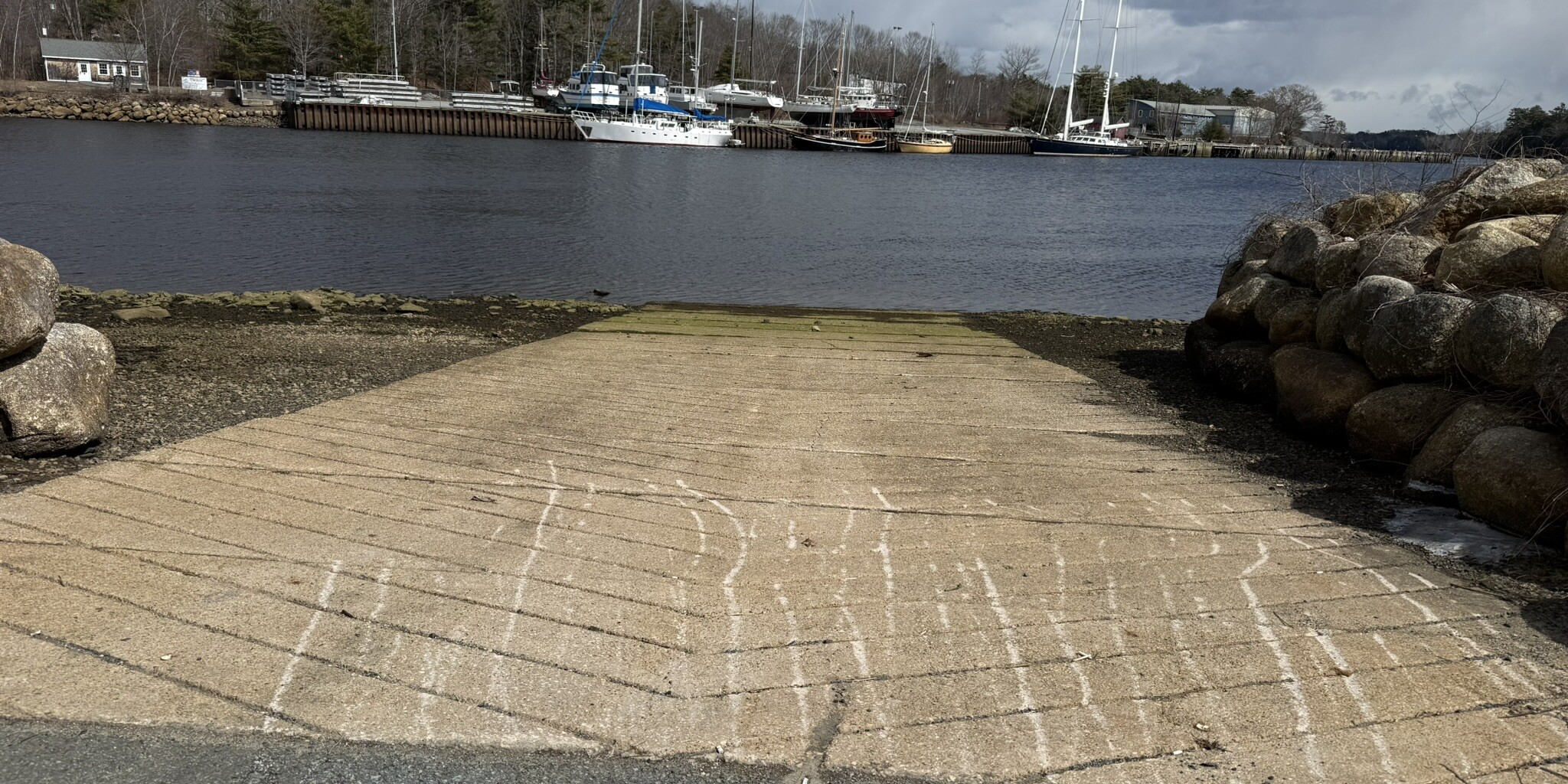
Bridgewater - Shipyard Landing
Bridgewater sits along the LaHave River on Nova Scotia’s South Shore, a town shaped by water, trade, and timber. Once a hub of shipbuilding and river transport, its waterfront still reflects that working heritage — where tides move steadily past docks that once launched vessels bound for the Atlantic. Today, it’s a practical inland gateway to the coast, where river meets ocean and history runs just beneath the surface.
Located along the LaHave River in Bridgewater, Shipyards Landing offers convenient small-craft access in the heart of town. The slip is positioned within a well-maintained public waterfront area, making it an easy launch point for both recreational boaters and divers.
The site provides straightforward access to the tidal waters of the LaHave River, with ample nearby parking and good approach conditions in most weather. Its central location makes it a practical staging point for exploring upriver or heading down toward the river mouth and the Atlantic beyond.
This slip is located at 44°22.312’N, 64°30.470’W. The slip is 20 feet wide, concrete and average condition.
There is lots of parking onsite, however summer months trailer parking is limited.
Photo taken: 29 March 2026

Bush Island
Bush Island sits at the mouth of the LaHave River on Nova Scotia’s South Shore, where sheltered inland waters give way to the open Atlantic. Framed by low coastline, shifting tides, and exposed shoals, the area marks a natural transition point — from working river routes to the harsher conditions beyond. It’s a place shaped by current and weather, where navigation tightens and the character of the coast begins to change.
The road runs the length of Crescent Beach, a narrow strip with ocean on one side and calm water on the other. Beyond it, a series of one-lane bridges links the coast together — a stretch where land and sea never quite separate.
If time permits, stop at the LaHave Islands Marine Museum — a small but worthwhile look into the working history of the coast.
This slip is located at 44°14.044’N, 62°22.373’W. The slip is 20 feet wide, concrete, and in good condition.
There is limited parking around this site.
The water is very shallow around the slip and dock.
Photo taken: 29 March 2026
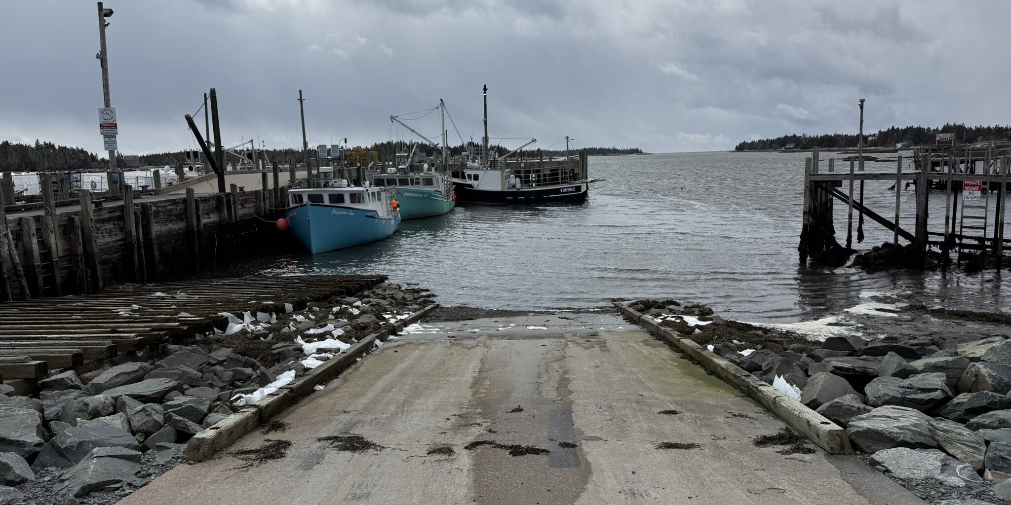
Sambro
Sambro sits at the very edge of the Atlantic, just southwest of Halifax—a place where land gives way to open ocean and the coastline begins to feel exposed, weathered, and real. It is one of the oldest continuously used fishing communities in North America, shaped not by rivers or sheltered trade routes, but by the full force of the North Atlantic. Here, the sea is not background—it is the defining presence.
For generations, Sambro has been a working harbour—its identity built on fishing, seamanship, and survival in conditions that can change quickly and without warning. Just offshore stands Sambro Island Lighthouse, the oldest operating lighthouse in the Americas, a constant presence guiding vessels through one of the most exposed approaches on the coast. The surrounding waters are deep, cold, and often unsettled, shaped by swell, surge, and shifting weather moving in from the open Atlantic.
The Sambro boat launch provides direct access into this environment. Located within the harbour, it serves as a practical departure point for small craft heading offshore. Unlike inland launches, this is an immediate transition—within minutes of leaving the slip, vessels are moving beyond the protection of the harbour and into open water. It is a launch point used by fishers, divers, and those working along the coast, where preparation and awareness matter as much as the destination.
This slip is located at 44°28.667’N, 63°36.025’W. The slip is 20 feet wide, concrete and excellent condition.
There is lots of parking onsite, however summer months trailer parking is limited.
Photo taken: 6 March 2026