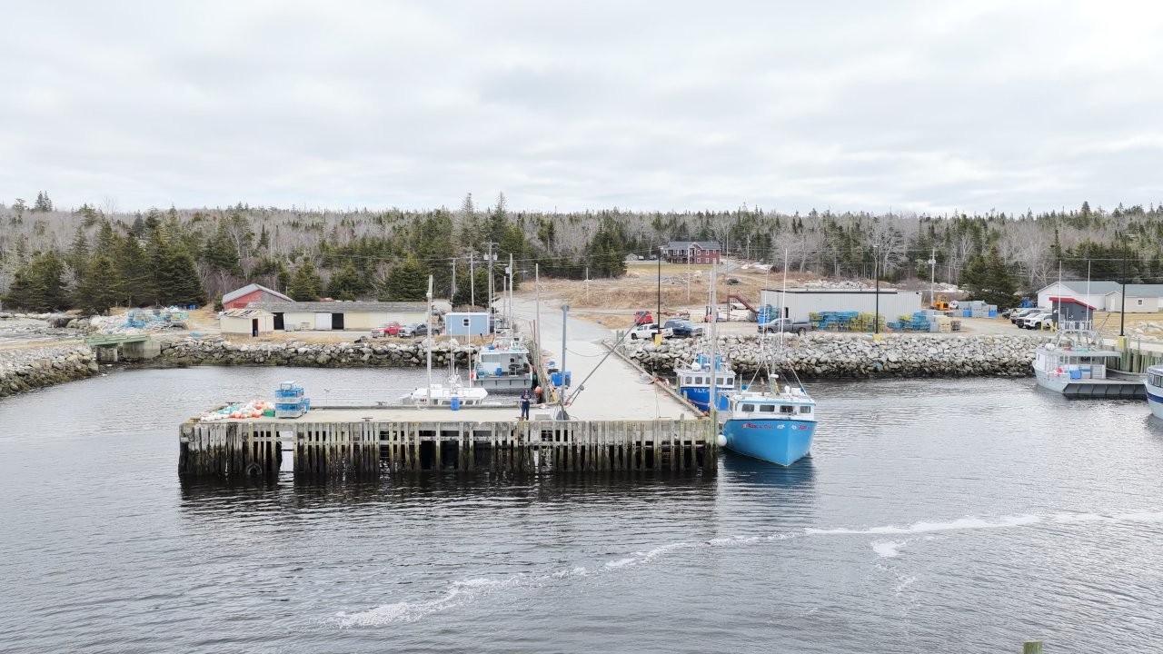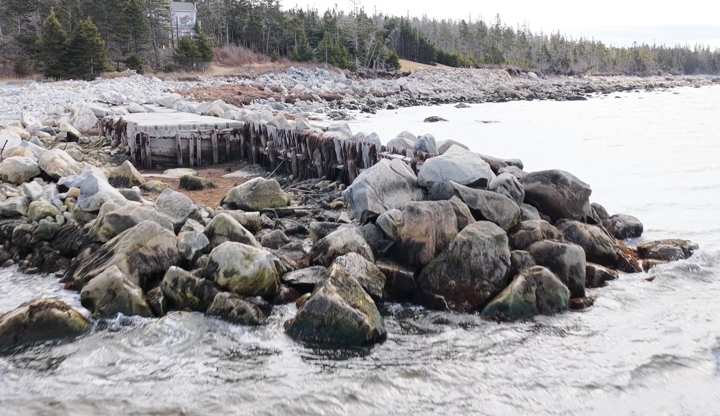
Port Joil - Old Wharf
Port Joli is a community in Queens County, about 30 kms to Liverpool and 200 kms from Halifax.
There are no public facilities in Port Joli.
The fishing wharf was closed in the 1990’s and a breakwater installed. This has also degraded over the past 35 years.
For explorers, look for the Cadden Bay beach!
This old wharf is located at 45°50.435’N, 64°51.697’W.
Photo / Video taken: 15 March 2026
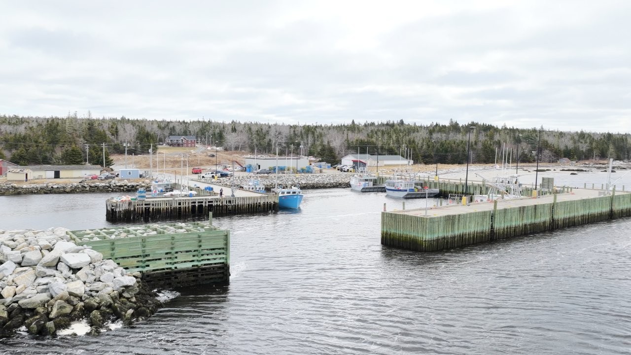
Port L'Hebert
Port L’Hebert graces Nova Scotia’s South Shore in Shelburne County, a coastal inlet and small fishing settlement straddling the Queens County line where lobster boats work from a modest wharf amid tidal flats and bird-rich waters. Originally “Port aux Ours” (Port of Bears) by early French explorers and settled by Loyalists in 1785, it shelters inshore fleets near Granite Village, with a historic lighthouse guiding through fog-shrouded approaches.
Wharf is located at 43°49.123’N, 64°55.755’W.
Photo / Video taken: 15 March 2026